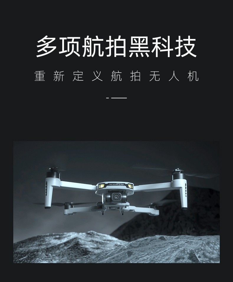
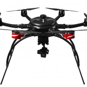
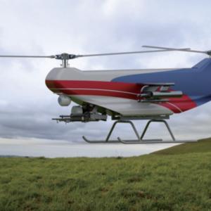
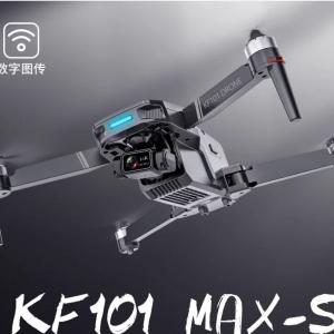
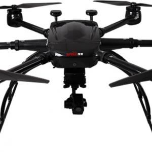
aerial photography drone
- Product Item : 4
- Category:
Products
- aerial photography drone
- UAV UAS RPA
- unmanned aerial vehicle Drone unmanned drone Unmanned Aircraft
- UAV UAS RPA unmanned aerial vehicle Drone unmanned drone Unmanned Aircraft
-
-
aerial photography drone
Drone aerial images have the advantages of high definition, large scale, small area, and high visibility. Especially suitable for obtaining aerial images of strip areas (highways, railways, rivers, reservoirs, coastlines, etc.). And unmanned aerial vehicles provide a remote sensing platform for aerial photography that is easy to operate and transition. Takeoff and landing are less limited by the site, and can take off and land on playgrounds, highways, or other open ground. It has good stability, safety, and easy transition.
Multi purpose and multifunctional imaging systems are important means of obtaining remote sensing information. The photography and video equipment used in remote sensing aerial photography mainly consists of modified 120 cameras, which shoot black and white, color negative and reverse films. Small digital cameras or video wireless transmission technology can also be used for color filming.
Small and lightweight, low-noise and energy-saving, efficient maneuverability, clear image, lightweight, miniaturized, and intelligent are the prominent features of drone aerial photography.
Application scope:
Drone aerial photography technology can be widely applied in fields such as national ecological environment protection, mineral resource exploration, marine environment monitoring, land use investigation, water resource development, crop growth monitoring and yield estimation, agricultural operations, natural disaster monitoring and evaluation, urban planning and municipal management, forest pest and disease prevention and monitoring, public safety, national defense, digital earth, and advertising photography, with broad market demand.