2277652616@qq.com
8618291999556

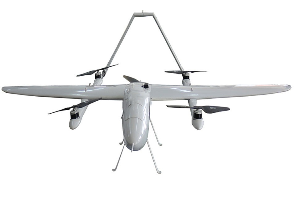
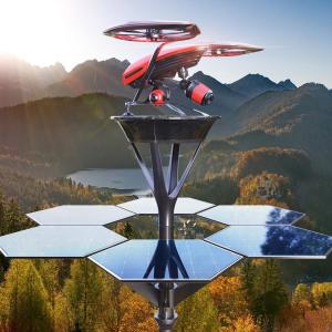
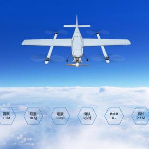
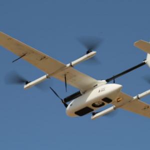
This drone is a new generation intelligent aircraft that can autonomously fly along a predetermined route, with high precision in route control, stable flight attitude, and simpler operation. We have an excellent task navigation system designed for long-distance shooting, monitoring, surveying, and data collection tasks. Suitable for long-distance and large-scale flight missions. Can be used for: surveying and mapping, digital cities, cultural heritage, archaeological surveying, geological exploration, mining surveying, disaster investigation, power survey, accident survey, criminal investigation, environmental protection, forestry and agricultural security · Yifei surveying and mapping. The low altitude aerial photography system of unmanned aerial vehicles generally consists of four parts: ground system, flight platform, sensors, data processing, etc. The ground system includes vehicles used for operational command and logistical support; The flight platform includes unmanned aerial vehicles, maintenance systems, communication systems, etc; The image acquisition system includes power supply, GPS programmable navigation and aerial photography management system, digital aerial photography camera, gimbal, control and recording system, etc. The data processing system includes aerial triangulation, orthorectification, stereo mapping, etc.
Name: mr-zhang
Mobile:8618291999556
Tel:8618291999556
Whatsapp:861829199956
Email:2277652616@qq.com
Add:FLAT 1506,15/F LUCKY CENTER,NO.165-171 WAN CHAIROAD,WAN CHAI,HONG KONG