2277652616@qq.com
8618291999556

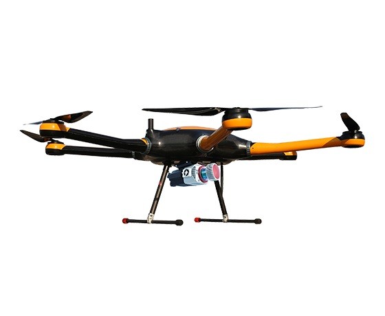
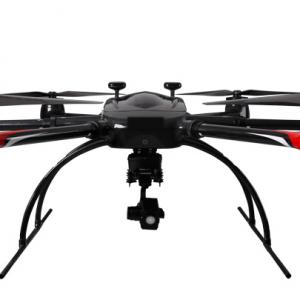
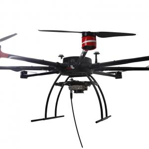
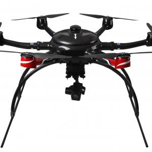
Electric six rotor unmanned aerial vehicle, capable of quickly changing different payload equipment as needed, and adaptable to laser radar and dual lens tilt gimbal. Having gone through the test of thousands of square kilometers of cadastral surveying projects, constantly improving and optimizing, truly meeting project requirements, it is a good helper for high-precision aerial surveying.
Dimensions 1620 × 1410 × 500mm
Wheelbase 1500mm
Maximum takeoff weight 20kg
Data transmission distance 30km
Differential mode supports RTK/PPK
Modular design, tool free quick disassembly and assembly, mechanical and electrical synchronous connection
Design of a multi-purpose payload compartment for one machine
Can change the payload according to task requirements
Carrying case size 605 × 691 × 823mm
accessories
Futaba T12K Remote Control
Intelligent dual channel charger
payload
Standard load ≤ 5000g
Maximum load 7000g
Tilt Camera OHZ 05 Tilt Camera
Customized airborne LiDAR
flight
Standard flight time 50 minutes
Maximum flight time of 90 minutes
Cruise speed 6m/s
Maximum speed 15m/s
Wind resistance capacity 12.5m/s
Maximum ceiling 5000m
Battery 6S 22.8V 32000mAh X2
Operating temperature -20~45 ℃
Name: mr-zhang
Mobile:8618291999556
Tel:8618291999556
Whatsapp:861829199956
Email:2277652616@qq.com
Add:FLAT 1506,15/F LUCKY CENTER,NO.165-171 WAN CHAIROAD,WAN CHAI,HONG KONG